Geolocate

Cottam topographic map

Click on the map to display elevation.

About this map

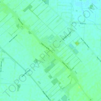
Name: Cottam topographic map, elevation, terrain.

Location: Cottam, Kingsville, Essex County, Ontario, N0R 1B0, Canada (42.10859 -82.76415 42.14859 -82.72415)

Average elevation: 196 m

Minimum elevation: 191 m

Maximum elevation: 203 m

Essex County trails, hiking, mountain biking, running and outdoor activities

Gear up for your next adventure:

🏃Hydration Running Vest - Carry water and maps close to your body for speed
🥾Waterproof Hiking Shoes - Durable shoes for wet and rugged trails
🧥Waterproof Pants - Keep dry during rainy hiking conditions
🧰Survival Kit - Essential gear for emergencies in the wilderness
💧Reusable Water Bottle - Durable water bottles for hydration on trails

As an Amazon Associate, this site earns from qualifying purchases at no extra cost to you.