Geolocate

Chetun topographic map

Click on the map to display elevation.

About this map

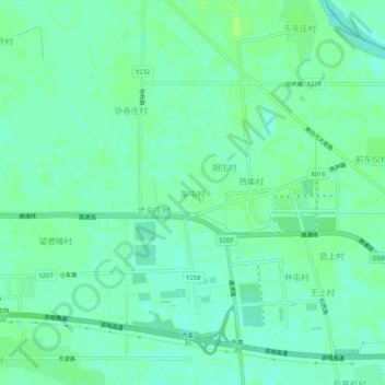
Name: Chetun topographic map, elevation, terrain.

Location: Chetun, Tongzhou District, Beijing, China (39.79557 116.84861 39.83557 116.88861)

Average elevation: 18 m

Minimum elevation: 13 m

Maximum elevation: 23 m

Gear up for your next adventure:

🧥Insulated Jacket - Keep warm in cold outdoor conditions
🚲MTB Frame Bag - Carry tools and maps directly on your bicycle frame
🧢Hiking Sun Hat - Wide-brimmed protection for exposed mountain ridges
🔋Emergency Crank Radio - Weather alerts and power without needing batteries
🏕️Camping Hammock - Integrated protection for sleeping between trees

As an Amazon Associate, this site earns from qualifying purchases at no extra cost to you.