
Thank you for supporting this site ❤️
Make a donation
Make a donation
Gear up for your next adventure:
As an Amazon Associate, this site earns from qualifying purchases at no extra cost to you.
Guribang topographic map
Click on the map to display elevation.
Thank you for supporting this site ❤️
Make a donation
Make a donation
Gear up for your next adventure:
As an Amazon Associate, this site earns from qualifying purchases at no extra cost to you.
About this map
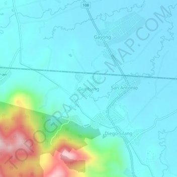
Name: Guribang topographic map, elevation, terrain.
Location: Guribang, Diffun, Quirino, Cagayan Valley, 3312, Philippines (16.61825 121.45660 16.65825 121.49660)
Average elevation: 162 m
Minimum elevation: 94 m
Maximum elevation: 485 m
Thank you for supporting this site ❤️
Make a donation
Make a donation
Gear up for your next adventure:
As an Amazon Associate, this site earns from qualifying purchases at no extra cost to you.