
Lomas de Chapultepec topographic map
Click on the map to display elevation.
About this map
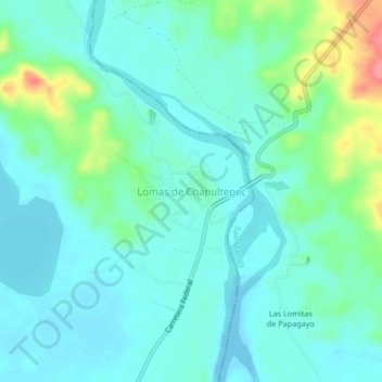
Name: Lomas de Chapultepec topographic map, elevation, terrain.
Location: Lomas de Chapultepec, Acapulco de Juárez, Guerrero, Mexico (16.69611 -99.63139 16.73611 -99.59139)
Average elevation: 20 m
Minimum elevation: -5 m
Maximum elevation: 91 m
Other topographic maps
Click on a map to view its topography, its elevation and its terrain.
Centro Internacional Acapulco
Mexico > Guerrero > Acapulco de Juárez > Acapulco
Average elevation: 68 m