Geolocate

Heglar topographic map

Click on the map to display elevation.

About this map

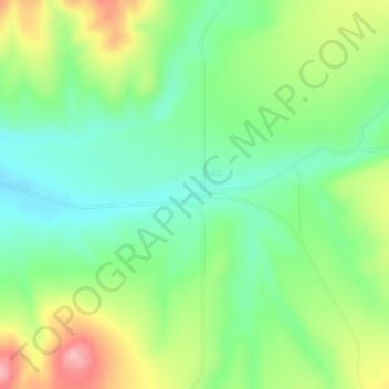
Name: Heglar topographic map, elevation, terrain.

Location: Heglar, Cassia County, Idaho, United States (42.46352 -113.15722 42.48352 -113.13722)

Average elevation: 1,480 m

Minimum elevation: 1,420 m

Maximum elevation: 1,584 m

Other topographic maps

Click on a map to view its topography, its elevation and its terrain.

Burley

United States > Idaho > Cassia County

Average elevation: 1,268 m

Sawtooth

United States > Idaho > Cassia County

Average elevation: 1,845 m

Burley

United States > Idaho > Cassia County

Average elevation: 1,268 m

Gear up for your next adventure:

👟Sport Hiking Sandals - Breathable footwear for water crossings and camp rest
🔦LED Headtorch - Bright and durable light for night activities
🥾Waterproof Hiking Boots - Essential footwear for rugged terrain and wet Canadian trails
🔋Lithium AA Batteries - Long-lasting power that performs in extreme cold
🧴Bear Spray Holster - Quick-access carry for essential Canadian wilderness safety

As an Amazon Associate, this site earns from qualifying purchases at no extra cost to you.