
Town of Victor topographic map
Interactive map
Click on the map to display elevation.
About this map
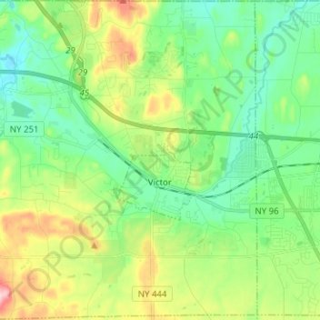
Name: Town of Victor topographic map, elevation, terrain.
Location: Town of Victor, Ontario County, New York, United States (42.94291 -77.48575 43.03490 -77.37056)
Average elevation: 202 m
Minimum elevation: 144 m
Maximum elevation: 327 m
Other topographic maps
Click on a map to view its topography, its elevation and its terrain.