
Puerto Prado topographic map
Interactive map
Click on the map to display elevation.
About this map
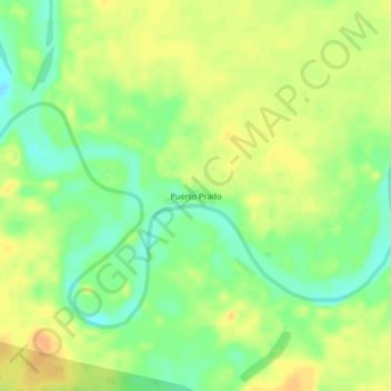
Name: Puerto Prado topographic map, elevation, terrain.
Location: Puerto Prado, Ucayali, Loreto, Peru (-7.81613 -75.30639 -7.77613 -75.26639)
Average elevation: 148 m
Minimum elevation: 130 m
Maximum elevation: 162 m