Geolocate

Hemse topographic map

Click on the map to display elevation.

About this map

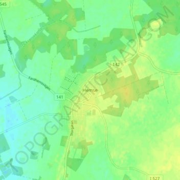
Name: Hemse topographic map, elevation, terrain.

Location: Hemse, Gotland Municipality, Gotland County, 620 12, Sweden (57.22015 18.36002 57.26015 18.40002)

Average elevation: 22 m

Minimum elevation: 13 m

Maximum elevation: 31 m

Other topographic maps

Click on a map to view its topography, its elevation and its terrain.

Lundar

Sweden > Gotland County

Average elevation: 8 m

Gear up for your next adventure:

🛁Quick-Dry Microfiber Towel - Space-saving towel that dries rapidly on the move
🌡️Emergency Mylar Blankets - Compact thermal protection for unexpected nights outdoors
🧢Sun Protection Cap - Breathable cap to protect from sun exposure
🗺️Topographic Maps - Detailed maps to explore trails, mountains, and wilderness areas
👖Convertible Hiking Pants - Zip-off legs to adapt to changing weather conditions

As an Amazon Associate, this site earns from qualifying purchases at no extra cost to you.