
İğdecik topographic map
Interactive map
Click on the map to display elevation.
About this map
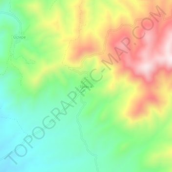
Name: İğdecik topographic map, elevation, terrain.
Location: İğdecik, Salihli, Manisa, Ägäisregion, Türkei (38.54710 28.36523 38.58710 28.40523)
Average elevation: 563 m
Minimum elevation: 326 m
Maximum elevation: 903 m