Geolocate

Dakaram topographic map

Click on the map to display elevation.

About this map

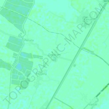
Name: Dakaram topographic map, elevation, terrain.

Location: Dakaram, Mudinepalle, Eluru, Andhra Pradesh, 521325, India (16.42740 81.09843 16.46740 81.13843)

Average elevation: 5 m

Minimum elevation: 1 m

Maximum elevation: 7 m

Gear up for your next adventure:

🧦Crew Hiking Socks - Comfortable socks for long-distance hikes
🎒Hiking Daypack - Lightweight and durable backpacks for day trips and excursions
🏕️Camping Hammock - Integrated protection for sleeping between trees
🥾Light Hiking Boots - Lightweight and comfortable boots for day hikes
🥾Hiking Leggings - Comfortable leggings for outdoor activities

As an Amazon Associate, this site earns from qualifying purchases at no extra cost to you.