
马山县 Mashan topographic map
Interactive map
Click on the map to display elevation.
About this map
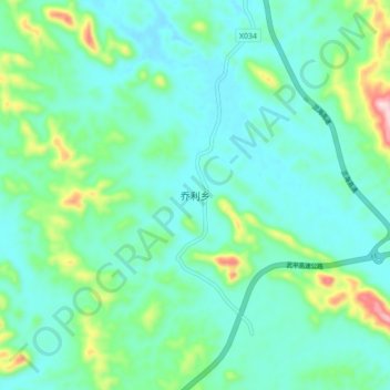
Name: 马山县 Mashan topographic map, elevation, terrain.
Location: 马山县 Mashan, 乔利乡, Nanning, Guangxi, Chine (23.59722 108.06611 23.67722 108.14611)
Average elevation: 234 m
Minimum elevation: 168 m
Maximum elevation: 482 m