Geolocate

Everett Heights topographic map

Click on the map to display elevation.

About this map

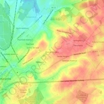
Name: Everett Heights topographic map, elevation, terrain.

Location: Everett Heights, Maryville, Blount County, East Tennessee, Tennessee, 37804, United States (35.74675 -83.96824 35.78675 -83.92824)

Average elevation: 294 m

Minimum elevation: 252 m

Maximum elevation: 327 m

Gear up for your next adventure:

🛏️Sleeping Bag - Warm and compact sleeping bags for outdoor camping
🦶Hiking Shoe Insoles - Added support for high arches and long days on feet
🧼Biodegradable Camp Soap - Environmentally friendly cleaning for gear and body
🧢Hiking Sun Hat - Wide-brimmed protection for exposed mountain ridges
👟Trail Running Shoes - Agile footwear for fast-paced topographic exploration

As an Amazon Associate, this site earns from qualifying purchases at no extra cost to you.