Geolocate

Nagwaling topographic map

Click on the map to display elevation.

About this map

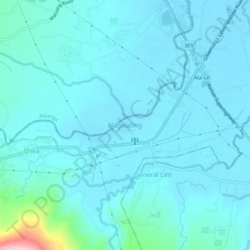
Name: Nagwaling topographic map, elevation, terrain.

Location: Nagwaling, Pilar, Bataan, Central Luzon, 2101, Philippines (14.61724 120.50636 14.65724 120.54636)

Average elevation: 31 m

Minimum elevation: 8 m

Maximum elevation: 230 m

Gear up for your next adventure:

🛌Insulated Sleeping Pad - Critical thermal barrier between you and the cold ground
🧰Multitool Knife - Compact and versatile tool for outdoor use
🧢Hiking Sun Hat - Wide-brimmed protection for exposed mountain ridges
🚲Bike Repair Kit - Essential tools for on-trail mechanical issues
🥾Light Trekking Boots - Supportive boots for multi-day treks

As an Amazon Associate, this site earns from qualifying purchases at no extra cost to you.