Geolocate

Irvington topographic map

Click on the map to display elevation.

About this map

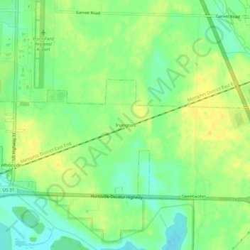
Name: Irvington topographic map, elevation, terrain.

Location: Irvington, Decatur, Limestone County, Alabama, United States (34.61981 -86.94917 34.65981 -86.90917)

Average elevation: 178 m

Minimum elevation: 165 m

Maximum elevation: 189 m

Gear up for your next adventure:

🦌Outdoor Trail Camera - Monitor wildlife activity near your favorite spots
🐕Hiking Dog Pack - Let your canine companion carry their own water and food
🔭Outdoor Binoculars - Lightweight binoculars for birdwatching and hiking
👟Sport Hiking Sandals - Breathable footwear for water crossings and camp rest
🕶️Polarized Sunglasses - Reduces glare from snow and water at high elevations

As an Amazon Associate, this site earns from qualifying purchases at no extra cost to you.