
Villa Aldama topographic map
Interactive map
Click on the map to display elevation.
About this map
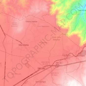
Name: Villa Aldama topographic map, elevation, terrain.
Location: Villa Aldama, Veracruz, México (19.61420 -97.25972 19.68811 -97.14951)
Average elevation: 2,330 m
Minimum elevation: 1,285 m
Maximum elevation: 2,740 m