
Make a donation
Gear up for your next adventure:
As an Amazon Associate, this site earns from qualifying purchases at no extra cost to you.
Rupert topographic map
Click on the map to display elevation.
Make a donation
Gear up for your next adventure:
As an Amazon Associate, this site earns from qualifying purchases at no extra cost to you.
Rupert
Rupert is located at an elevation of 4,157 feet (1,267 m) above sea level. It is part of the agricultural region of the Snake River Plain known as Magic Valley, and is a few miles north of the Snake River. Interstate 84 passes a few miles to the south, and before its construction, U.S. Route 30 passed through Rupert. Acequia lies about 5 miles (8 km) northeast of Rupert and Paul is about the same distance to the west.
Make a donation
Gear up for your next adventure:
As an Amazon Associate, this site earns from qualifying purchases at no extra cost to you.
About this map
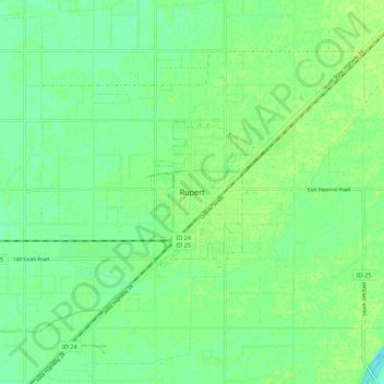
Name: Rupert topographic map, elevation, terrain.
Location: Rupert, Minidoka County, Idaho, 83350, United States (42.57908 -113.71723 42.65908 -113.63723)
Average elevation: 1,267 m
Minimum elevation: 1,260 m
Maximum elevation: 1,271 m
Make a donation
Gear up for your next adventure:
As an Amazon Associate, this site earns from qualifying purchases at no extra cost to you.