
Quintana topographic map
Click on the map to display elevation.
About this map
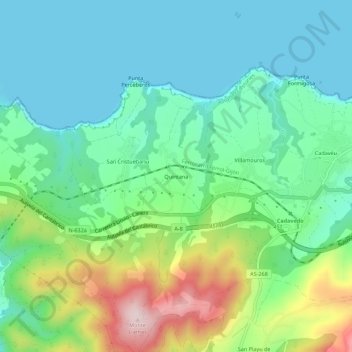
Name: Quintana topographic map, elevation, terrain.
Location: Quintana, Caneiru, Valdés, Asturias, 33785, Spain (43.52714 -6.42968 43.56714 -6.38968)
Average elevation: 96 m
Minimum elevation: 0 m
Maximum elevation: 343 m
Other topographic maps
Click on a map to view its topography, its elevation and its terrain.
Plaza de la Playa de Castiel
Spain > Asturias > Valdés > Luarca / Ḷḷuarca > Barceḷḷina
Average elevation: 41 m