
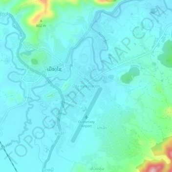
ບ້ານ ໜອງແມງດາ topographic map
Interactive map
Click on the map to display elevation.
About this map
Name: ບ້ານ ໜອງແມງດາ topographic map, elevation, terrain.
Location: ບ້ານ ໜອງແມງດາ, Xay District, Oudomxay, Laos (20.66898 101.97323 20.70898 102.01323)
Average elevation: 659 m
Minimum elevation: 627 m
Maximum elevation: 860 m