Geolocate

Tavares topographic map

Click on the map to display elevation.

About this map
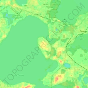
Name: Tavares topographic map, elevation, terrain.

Location: Tavares, Lake County, Florida, 32278, United States (28.74190 -81.78304 28.83820 -81.69152)

Average elevation: 22 m

Minimum elevation: 5 m

Maximum elevation: 50 m

Gear up for your next adventure:

🧴Sunscreen SPF - Broad-spectrum sunscreen for outdoor activities
🧢Hiking Hat - Sun-protective and breathable hats for long treks
🥘Camping Cookware Set - Compact nesting pots and pans for trail cooking
🥾Durable Hiking Shoes - Long-lasting shoes for frequent hiking
🔭Compact Monocular - One-handed bird watching and trail spotting

As an Amazon Associate, this site earns from qualifying purchases at no extra cost to you.