Geolocate

Ker Liberin topographic map

Click on the map to display elevation.

About this map
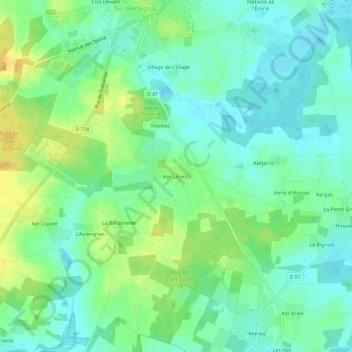
Name: Ker Liberin topographic map, elevation, terrain.

Location: Ker Liberin, Herbignac, Saint-Nazaire, Loire-Atlantique, Pays de la Loire, France métropolitaine, 44410, France (47.40815 -2.33238 47.44815 -2.29238)

Average elevation: 11 m

Minimum elevation: -2 m

Maximum elevation: 30 m

Other topographic maps

Click on a map to view its topography, its elevation and its terrain.

Gear up for your next adventure:

🧊Portable Cooler - Keep food and drinks cold during outdoor adventures
🧥Fleece Jacket - Warm and lightweight jacket for layering
🌬️Windproof Camp Stove - Efficient cooking even on exposed mountain peaks
🪑Ultralight Camping Stool - Compact seating for rest stops during long hikes
🛰️Satellite Messenger - Emergency communication for areas with no cell service

As an Amazon Associate, this site earns from qualifying purchases at no extra cost to you.