Geolocate

Nahuinlla topographic map

Click on the map to display elevation.

About this map

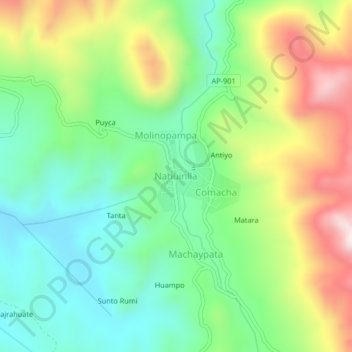
Name: Nahuinlla topographic map, elevation, terrain.

Location: Nahuinlla, Coyllurqui, Cotabambas, Apurímac, Perú (-13.97944 -72.41687 -13.93944 -72.37687)

Average elevation: 4,066 m

Minimum elevation: 3,845 m

Maximum elevation: 4,448 m

Gear up for your next adventure:

Camping Essentials - All-in-one gear for a comfortable camping trip
🧢Sun Hat - Wide-brim hat for sun protection
🧥Thermal Layer - Insulating layer for cold outdoor conditions
🧢Sun Protection Cap - Breathable cap to protect from sun exposure
🥾Light Hiking Boots - Lightweight and comfortable boots for day hikes

As an Amazon Associate, this site earns from qualifying purchases at no extra cost to you.