Geolocate

Manter Wadi topographic map

Click on the map to display elevation.

About this map

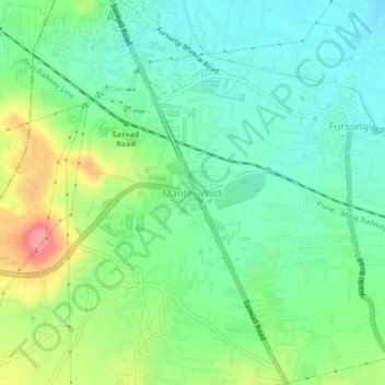
Name: Manter Wadi topographic map, elevation, terrain.

Location: Manter Wadi, Haveli, Pune District, Maharashtra, 412308, India (18.44565 73.94187 18.48565 73.98187)

Average elevation: 591 m

Minimum elevation: 558 m

Maximum elevation: 660 m

Gear up for your next adventure:

🦟Insect Repellent - Keep mosquitoes and black flies away in wooded areas
🧥Ultralight Puffy Jacket - Maximum warmth that packs down to the size of an orange
🥾Trail Running Boots - Durable shoes designed for trail running
🩹Moleskin Blister Pads - Direct protection for painful foot pressure points
🧥Waterproof Pants - Keep dry during rainy hiking conditions

As an Amazon Associate, this site earns from qualifying purchases at no extra cost to you.