Geolocate

Flin Flon topographic map

Click on the map to display elevation.

About this map

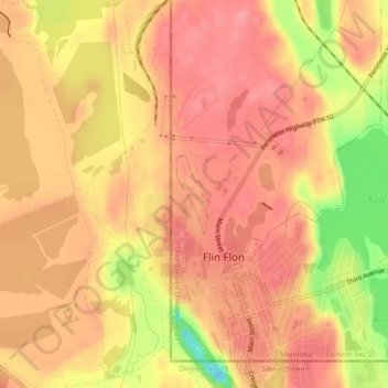
Name: Flin Flon topographic map, elevation, terrain.

Location: Flin Flon, Manitoba, Canada (54.77136 -101.88466 54.77693 -101.88076)

Average elevation: 326 m

Minimum elevation: 261 m

Maximum elevation: 352 m

Manitoba trails, hiking, mountain biking, running and outdoor activities

Gear up for your next adventure:

🍽️Titanium Camping Spork - Ultralight and indestructible eating utensil
🔥Emergency Fire Starter - Reliable ignition source for all weather conditions
💡LED Camping Lantern - Illuminate your campsite with long-lasting lanterns
👟Sport Hiking Sandals - Breathable footwear for water crossings and camp rest
🥾Hiking Gaiters - Protect legs and shoes from mud, snow, and debris

As an Amazon Associate, this site earns from qualifying purchases at no extra cost to you.