Geolocate

Mount Sindoro topographic map

Click on the map to display elevation.

About this map

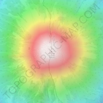
Name: Mount Sindoro topographic map, elevation, terrain.

Location: Mount Sindoro, Wonosobo, Central Java, Java, Indonesia (-7.30119 109.99665 -7.30109 109.99675)

Average elevation: 2,572 m

Minimum elevation: 2,083 m

Maximum elevation: 3,145 m

Gear up for your next adventure:

🥽Outdoor Goggles - Protective eyewear for outdoor activities
🛶Canoe Life Vest - Safety vest for water sports
🧥Waterproof Hiking Jacket - Protect yourself from rain and wind while hiking
🧭Orienteering Kit - Tools for map reading and navigation in the wild
🧴Sunscreen SPF - Broad-spectrum sunscreen for outdoor activities

As an Amazon Associate, this site earns from qualifying purchases at no extra cost to you.