
Bethan topographic map
Click on the map to display elevation.
About this map
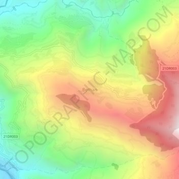
Name: Bethan topographic map, elevation, terrain.
Location: Bethan, Sunapati, Ramechhap, Bagmati Province, Nepal (27.47309 85.81339 27.51309 85.85339)
Average elevation: 1,231 m
Minimum elevation: 546 m
Maximum elevation: 2,050 m
Other topographic maps
Click on a map to view its topography, its elevation and its terrain.