
Whigham topographic map
Interactive map
Click on the map to display elevation.
About this map
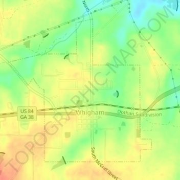
Name: Whigham topographic map, elevation, terrain.
Location: Whigham, Grady County, Georgia, United States (30.87616 -84.33886 30.89763 -84.31363)
Average elevation: 85 m
Minimum elevation: 59 m
Maximum elevation: 105 m
Other topographic maps
Click on a map to view its topography, its elevation and its terrain.
Pine Park
United States > Georgia > Grady County
Pine Park, Grady County, Georgia, United States
Average elevation: 62 m
Cairo
United States > Georgia > Grady County
Cairo, Grady County, Georgia, United States
Average elevation: 76 m