
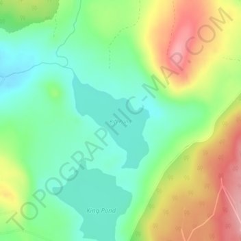
Rift Pond topographic map
Interactive map
Click on the map to display elevation.
About this map
Name: Rift Pond topographic map, elevation, terrain.
Location: Rift Pond, Great Pond, Hancock County, Maine, United States (44.94476 -68.26415 44.95564 -68.25183)
Average elevation: 151 m
Minimum elevation: 97 m
Maximum elevation: 235 m