
Landhorst topographic map
Interactive map
Click on the map to display elevation.
About this map
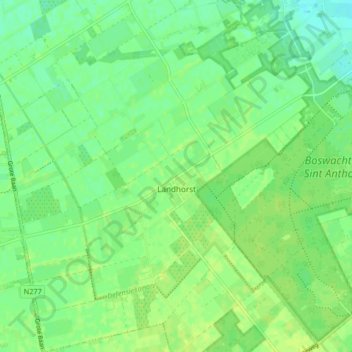
Name: Landhorst topographic map, elevation, terrain.
Location: Landhorst, Sint Anthonis, Nordbrabant, Niederlande (51.59395 5.74768 51.64498 5.82361)
Average elevation: 22 m
Minimum elevation: 14 m
Maximum elevation: 27 m