
Make a donation
Gear up for your next adventure:
As an Amazon Associate, this site earns from qualifying purchases at no extra cost to you.
Golzentipp topographic map
Click on the map to display elevation.
Make a donation
Gear up for your next adventure:
As an Amazon Associate, this site earns from qualifying purchases at no extra cost to you.
About this map
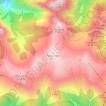
Name: Golzentipp topographic map, elevation, terrain.
Average elevation: 2,035 m
Minimum elevation: 1,500 m
Maximum elevation: 2,294 m
Make a donation
Gear up for your next adventure:
As an Amazon Associate, this site earns from qualifying purchases at no extra cost to you.
Other topographic maps
Click on a map to view its topography, its elevation and its terrain.
Tiroler Gailtal
Österreich > Tirol > Bezirk Lienz > Obertilliach
Mit dem Rückgang der Landwirtschaft lebt es heute im Wesentlichen vom Tourismus (Nassfeld, Karnischer Höhenweg, Pressegger See). Besonders das Lesachtal hat sich dem sanften Tourismus verschrieben. Mit dem Tiroler Gailtal, der Gemeinde Lesachtal und der Ortschaft Mauthen liegen drei Bergsteigerdörfer im…
Average elevation: 1,723 m