Geolocate

Qianhucun topographic map

Click on the map to display elevation.

About this map

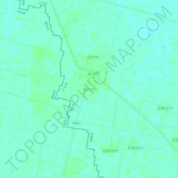
Name: Qianhucun topographic map, elevation, terrain.

Location: Qianhucun, Handan, Hebei, 056000, China (36.14161 115.24443 36.18161 115.28443)

Average elevation: 47 m

Minimum elevation: 44 m

Maximum elevation: 50 m

Other topographic maps

Click on a map to view its topography, its elevation and its terrain.

Fuxing District

China > Hebei > Handan

Average elevation: 159 m

Huangliangmeng

China > Hebei > Handan

Average elevation: 75 m

Gear up for your next adventure:

🥾Hiking Shorts - Breathable shorts suitable for summer hikes
🧰Survival Kit - Essential gear for emergencies in the wilderness
💧Hydration Bladder - Hands-free hydration solution for long treks
🪑Ultralight Camping Stool - Compact seating for rest stops during long hikes
🦶Hiking Shoe Insoles - Added support for high arches and long days on feet

As an Amazon Associate, this site earns from qualifying purchases at no extra cost to you.