Geolocate

Payaca topographic map

Click on the map to display elevation.

About this map

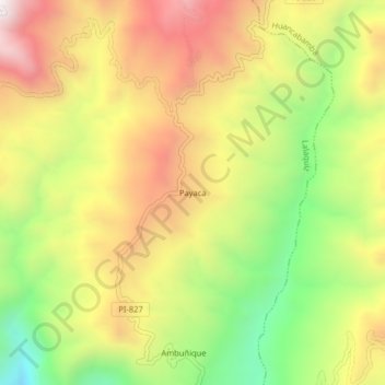
Name: Payaca topographic map, elevation, terrain.

Location: Payaca, Lalaquiz, Province of Huancabamba, Piura, Peru (-5.16874 -79.63233 -5.12874 -79.59233)

Average elevation: 2,150 m

Minimum elevation: 1,627 m

Maximum elevation: 2,653 m

Gear up for your next adventure:

🪜Heavy Duty Carabiners - Multi-use clips for securing gear to your backpack
📷Outdoor Action Camera - Capture high-elevation views and rugged adventures
🧼Biodegradable Camp Soap - Environmentally friendly cleaning for gear and body
🥘Camping Cookware Set - Compact nesting pots and pans for trail cooking
🧴Outdoor Sunscreen - High SPF protection for high-altitude UV exposure

As an Amazon Associate, this site earns from qualifying purchases at no extra cost to you.