Geolocate

Mount Saramati topographic map

Click on the map to display elevation.

About this map

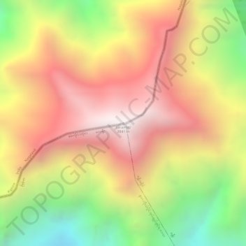
Name: Mount Saramati topographic map, elevation, terrain.

Location: Mount Saramati, Khongsa, Kiphire, Nagaland, India (25.73984 95.03745 25.73994 95.03755)

Average elevation: 3,333 m

Minimum elevation: 2,657 m

Maximum elevation: 3,826 m

Gear up for your next adventure:

🔦LED Headlamp - Hands-free lighting for early morning starts or late finishes
Bushcraft Tarp - Versatile emergency shelter or gear protection
🧰Multitool Knife - Compact and versatile tool for outdoor use
👖Convertible Hiking Pants - Zip-off legs to adapt to changing weather conditions
🛶Canoe Life Vest - Safety vest for water sports

As an Amazon Associate, this site earns from qualifying purchases at no extra cost to you.