

Andersen Air Force Base topographic map
Click on the map to display elevation.
Andersen Air Force Base
B-29 Superfortress missions from North Field were attacks against strategic targets in Japan, operating in daylight and at a high altitude to bomb factories, refineries, and other objectives. In March 1945, the XXI Bomber Command changed tactics and started carrying out low-level night incendiary raids on area targets. During the Allied assault on Okinawa, groups of the 314th Bomb Wing attacked airfields from which the Japanese were sending out suicide planes against the invasion force.
About this map
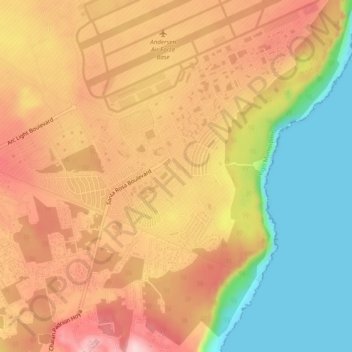
Name: Andersen Air Force Base topographic map, elevation, terrain.
Average elevation: 131 m
Minimum elevation: 0 m
Maximum elevation: 238 m