Geolocate

Withee topographic map

Click on the map to display elevation.

About this map

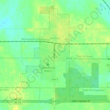
Name: Withee topographic map, elevation, terrain.

Location: Withee, Clark County, Wisconsin, United States (44.94086 -90.60960 44.96365 -90.59261)

Average elevation: 386 m

Minimum elevation: 376 m

Maximum elevation: 394 m

Gear up for your next adventure:

🥾Waterproof Hiking Boots - Essential footwear for rugged terrain and wet Canadian trails
🥾Trail Hiking Boots - Supportive boots for rough trails
🥾Light Hiking Boots - Lightweight and comfortable boots for day hikes
🥾Trail Running Boots - Durable shoes designed for trail running
💡Portable Camping Lamp - Rechargeable lamp for campsite lighting

As an Amazon Associate, this site earns from qualifying purchases at no extra cost to you.