Geolocate

Aquila topographic map

Click on the map to display elevation.

About this map

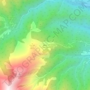
Name: Aquila topographic map, elevation, terrain.

Location: Aquila, Giaveno, Torino, Piemonte, Italia (45.00973 7.24582 45.04973 7.28582)

Average elevation: 1,129 m

Minimum elevation: 656 m

Maximum elevation: 1,977 m

Gear up for your next adventure:

🥾All-Terrain Hiking Boots - Versatile boots for varied hiking conditions
Camping Groundsheet - Protect your tent from moisture and dirt
🚑Survival Whistle - Signal for help across long distances in mountains
🔦LED Flashlight - Powerful and long-lasting flashlight for camping and emergencies
🥾Mountain Hiking Shoes - Shoes with superior grip for mountainous terrain

As an Amazon Associate, this site earns from qualifying purchases at no extra cost to you.