Geolocate

Guotuncun topographic map

Click on the map to display elevation.

About this map

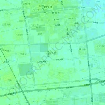
Name: Guotuncun topographic map, elevation, terrain.

Location: Guotuncun, Xiuwu County, Jiaozuo, Henan, China (35.19364 113.42006 35.23364 113.46006)

Average elevation: 85 m

Minimum elevation: 80 m

Maximum elevation: 89 m

Gear up for your next adventure:

💡Compact LED Flashlight - Powerful and portable flashlight for outdoor use
🧭GPS Tracker - Track your location in remote areas safely
🔋Lithium AA Batteries - Long-lasting power that performs in extreme cold
🥾Hiking Gaiters - Protect legs and shoes from mud, snow, and debris
🧤Thermal Hiking Gloves - Grip-enhanced gloves for cold-weather altitude trekking

As an Amazon Associate, this site earns from qualifying purchases at no extra cost to you.