Geolocate

Chengkou County topographic map

Click on the map to display elevation.

About this map

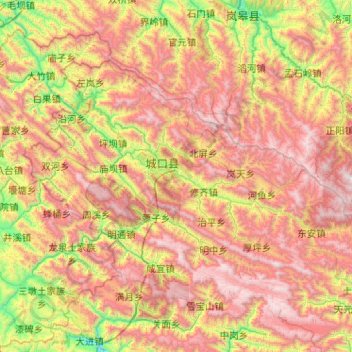
Name: Chengkou County topographic map, elevation, terrain.

Location: Chengkou County, 渝东北三峡库区城镇群区位, Chongqing, China (31.62504 108.25563 32.20366 109.27916)

Average elevation: 1,418 m

Minimum elevation: 319 m

Maximum elevation: 2,766 m

Gear up for your next adventure:

🥾Trail Hiking Boots - Supportive boots for rough trails
🥾Trail Running Shoes - Lightweight and durable shoes for trail running
🔦UV Flashlight - Detect minerals or specific insects in the dark
🧣Evaporative Cooling Towel - Beat the heat during intense summer climbs
🚲Bike Repair Kit - Essential tools for on-trail mechanical issues

As an Amazon Associate, this site earns from qualifying purchases at no extra cost to you.