Geolocate

Dhakuria Lake topographic map

Click on the map to display elevation.

About this map

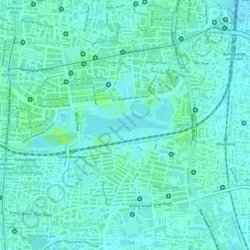
Name: Dhakuria Lake topographic map, elevation, terrain.

Location: Dhakuria Lake, Dhakuria, Kolkata, West Bengal, India (22.50963 88.35428 22.51221 88.36451)

Average elevation: 9 m

Minimum elevation: 4 m

Maximum elevation: 18 m

Gear up for your next adventure:

🧳Compression Sacks - Maximize space in your backpack by shrinking gear
🥾Lightweight Hiking Boots - Boots for comfort and mobility on long hikes
🧭GPS Tracker - Track your location in remote areas safely
💡Portable Camping Lamp - Rechargeable lamp for campsite lighting
🥾Mountain Trail Shoes - High-traction shoes for mountain trails

As an Amazon Associate, this site earns from qualifying purchases at no extra cost to you.