Geolocate

O Covelo topographic map

Click on the map to display elevation.

About this map

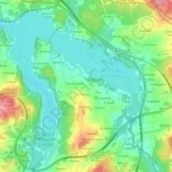
Name: O Covelo topographic map, elevation, terrain.

Location: O Covelo, Crendes, Abegondo, La Coruña, Galicia, 15640, España (43.24833 -8.29186 43.28833 -8.25186)

Average elevation: 61 m

Minimum elevation: 19 m

Maximum elevation: 148 m

Gear up for your next adventure:

🦌Outdoor Trail Camera - Monitor wildlife activity near your favorite spots
🔦LED Headlamp - Hands-free lighting for early morning starts or late finishes
🥾Trekking Poles - Adjustable trekking poles to reduce knee stress and improve stability
🧥Thermal Layer - Insulating layer for cold outdoor conditions
🏕️Camping Hammock - Integrated protection for sleeping between trees

As an Amazon Associate, this site earns from qualifying purchases at no extra cost to you.