Geolocate

Aguadas topographic map

Click on the map to display elevation.

About this map

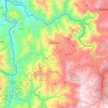
Name: Aguadas topographic map, elevation, terrain.

Location: Aguadas, Norte, Caldas, Colombia (5.42038 -75.60000 5.73789 -75.31053)

Average elevation: 1,744 m

Minimum elevation: 576 m

Maximum elevation: 3,272 m

Gear up for your next adventure:

🦟Insect Repellent - Keep mosquitoes and black flies away in wooded areas
🛶Kayak Accessories - Essential gear for safe and fun kayaking adventures
❄️Traction Ice Cleats - Slip-on spikes for icy trails and winter hiking
🚲Bike Repair Kit - Essential tools for on-trail mechanical issues
🧼Travel Hand Sanitizer - Keep hands clean when water is scarce

As an Amazon Associate, this site earns from qualifying purchases at no extra cost to you.