Geolocate

Mastung topographic map

Click on the map to display elevation.

About this map

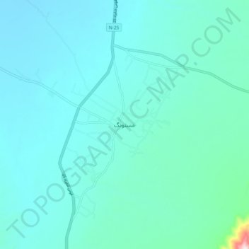
Name: Mastung topographic map, elevation, terrain.

Location: Mastung, Balochistan, 88200, Pakistan (29.76004 66.81004 29.84004 66.89004)

Average elevation: 1,691 m

Minimum elevation: 1,615 m

Maximum elevation: 2,331 m

Gear up for your next adventure:

🧢Outdoor Visor - Breathable visor for sunny hikes
🥾Trail Hiking Socks - Comfortable socks to prevent blisters and fatigue
🧳Compression Sacks - Maximize space in your backpack by shrinking gear
🧥Thermal Layer - Insulating layer for cold outdoor conditions
🧣Evaporative Cooling Towel - Beat the heat during intense summer climbs

As an Amazon Associate, this site earns from qualifying purchases at no extra cost to you.