
Make a donation
Gear up for your next adventure:
As an Amazon Associate, this site earns from qualifying purchases at no extra cost to you.
Entre-deux-Eaux topographic map
Click on the map to display elevation.
Make a donation
Gear up for your next adventure:
As an Amazon Associate, this site earns from qualifying purchases at no extra cost to you.
Entre-deux-Eaux
L'altitude moyenne du village, où d'ailleurs se trouvent l'église et son cimetière, est de 420 mètres. À noter deux hameaux excentrés, Remémont au nord et Fouchifol à l'est. Le point culminant se trouve au sommet de la tête de la Behouille.
Make a donation
Gear up for your next adventure:
As an Amazon Associate, this site earns from qualifying purchases at no extra cost to you.
About this map
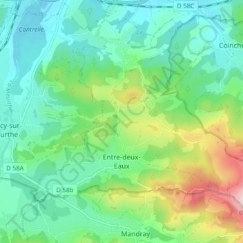
Name: Entre-deux-Eaux topographic map, elevation, terrain.
Average elevation: 437 m
Minimum elevation: 357 m
Maximum elevation: 648 m
Make a donation
Gear up for your next adventure:
As an Amazon Associate, this site earns from qualifying purchases at no extra cost to you.