Geolocate

Bemmel topographic map

Click on the map to display elevation.

About this map

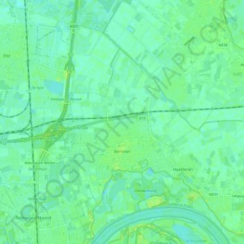
Name: Bemmel topographic map, elevation, terrain.

Location: Bemmel, Lingewaard, Gelderland, Netherlands (51.86520 5.87214 51.93461 5.93304)

Average elevation: 10 m

Minimum elevation: 5 m

Maximum elevation: 18 m

Gear up for your next adventure:

Lightweight Backpacking Tent - Compact tent for efficient hiking trips
🧥Ultralight Puffy Jacket - Maximum warmth that packs down to the size of an orange
🔭Compact Monocular - One-handed bird watching and trail spotting
🧢Hiking Hat - Sun-protective and breathable hats for long treks
🛶Kayak Dry Bag - Waterproof storage for kayaking adventures

As an Amazon Associate, this site earns from qualifying purchases at no extra cost to you.