Geolocate

Braham topographic map

Click on the map to display elevation.

About this map

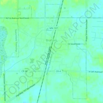
Name: Braham topographic map, elevation, terrain.

Location: Braham, Isanti County, Minnesota, United States (45.70937 -93.18833 45.73419 -93.15731)

Average elevation: 291 m

Minimum elevation: 286 m

Maximum elevation: 298 m

Other topographic maps

Click on a map to view its topography, its elevation and its terrain.

Athens

United States > Minnesota > Isanti County

Average elevation: 284 m

Elizabeth Lake

United States > Minnesota > Isanti County

Average elevation: 286 m

Rum River

United States > Minnesota > Isanti County > Walbo

Average elevation: 287 m

Gear up for your next adventure:

🎒Fully Waterproof Backpack - Total protection for photography gear and electronics
💡Portable Camping Lamp - Rechargeable lamp for campsite lighting
🧢Hiking Hat - Sun-protective and breathable hats for long treks
🧥Waterproof Pants - Keep dry during rainy hiking conditions
🏕️Camping Hammock - Integrated protection for sleeping between trees

As an Amazon Associate, this site earns from qualifying purchases at no extra cost to you.