
Dhorpatan topographic map
Click on the map to display elevation.
About this map
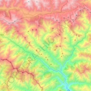
Name: Dhorpatan topographic map, elevation, terrain.
Location: Dhorpatan, Baglung, Gandaki Pradesh, Nepal (28.30017 83.00535 28.49759 83.30384)
Average elevation: 2,454 m
Minimum elevation: 916 m
Maximum elevation: 4,258 m