Geolocate

Pedtad topographic map

Click on the map to display elevation.

About this map

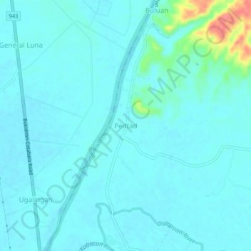
Name: Pedtad topographic map, elevation, terrain.

Location: Pedtad, Kabacan, Cotabato, Soccsksargen, 9407, Philippines (7.14518 124.79622 7.18518 124.83622)

Average elevation: 27 m

Minimum elevation: 17 m

Maximum elevation: 96 m

Gear up for your next adventure:

🦶Anti-Blister Balm - Prevents friction and hotspots during long ascents
👟Trail Running Shoes - Agile footwear for fast-paced topographic exploration
🧥Insulated Jacket - Keep warm in cold outdoor conditions
🧦Hiking Socks - Moisture-wicking and comfortable socks for long hikes
🔨Vehicle Emergency Tool - Safety tool for remote road trips to trailheads

As an Amazon Associate, this site earns from qualifying purchases at no extra cost to you.