Geolocate

McCoy topographic map

Click on the map to display elevation.

About this map

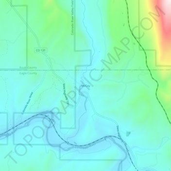
Name: McCoy topographic map, elevation, terrain.

Location: McCoy, Eagle County, Colorado, United States (39.89610 -106.74559 39.93610 -106.70559)

Average elevation: 2,127 m

Minimum elevation: 2,017 m

Maximum elevation: 2,614 m

Gear up for your next adventure:

🧦Hiking Socks - Moisture-wicking and comfortable socks for long hikes
🥾Lightweight Hiking Boots - Boots for comfort and mobility on long hikes
💡Portable Camping Lamp - Rechargeable lamp for campsite lighting
🥾Mountain Hiking Boots - High-traction boots for rocky terrain
🕶️Polarized Sunglasses - Protect your eyes with durable polarized lenses

As an Amazon Associate, this site earns from qualifying purchases at no extra cost to you.