
Marri topographic map
Interactive map
Click on the map to display elevation.
About this map
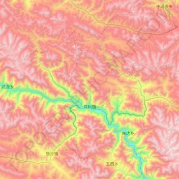
Name: Marri topographic map, elevation, terrain.
Location: Marri, Lhorong County, Chamdo City, Tibet, China (30.81881 95.99297 31.03661 96.57387)
Average elevation: 4,506 m
Minimum elevation: 3,123 m
Maximum elevation: 5,492 m