Geolocate

Jayamekar topographic map

Click on the map to display elevation.

About this map

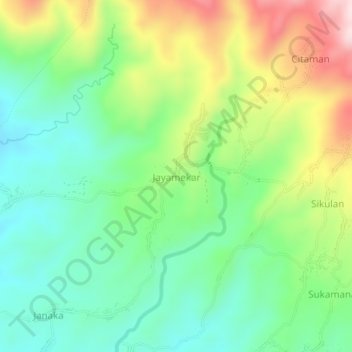
Name: Jayamekar topographic map, elevation, terrain.

Location: Jayamekar, Pandeglang, Banten, Java, 42273, Indonesia (-6.33632 105.86204 -6.29632 105.90204)

Average elevation: 161 m

Minimum elevation: 35 m

Maximum elevation: 389 m

Other topographic maps

Click on a map to view its topography, its elevation and its terrain.

Tanjungjaya

Indonesia > Banten > Pandeglang

Average elevation: 37 m

Tanjungjaya

Indonesia > Banten > Pandeglang

Average elevation: 37 m

Gear up for your next adventure:

🧭GPS Outdoor Watch - Smart watch for navigation and fitness tracking in nature
🧤Thermal Hiking Gloves - Grip-enhanced gloves for cold-weather altitude trekking
🔋Emergency Crank Radio - Weather alerts and power without needing batteries
Camping Groundsheet - Protect your tent from moisture and dirt
🥾Trekking Boots - Durable boots for long-distance trekking

As an Amazon Associate, this site earns from qualifying purchases at no extra cost to you.