
Thank you for supporting this site ❤️
Make a donation
Make a donation
Gear up for your next adventure:
As an Amazon Associate, this site earns from qualifying purchases at no extra cost to you.
Bonnefille topographic map
Click on the map to display elevation.
Thank you for supporting this site ❤️
Make a donation
Make a donation
Gear up for your next adventure:
As an Amazon Associate, this site earns from qualifying purchases at no extra cost to you.
About this map
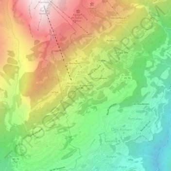
Name: Bonnefille topographic map, elevation, terrain.
Location: Bonnefille, Anzère, Ayent, Hérens, Wallis, 1972, Switzerland (46.27383 7.37987 46.31383 7.41987)
Average elevation: 1,408 m
Minimum elevation: 676 m
Maximum elevation: 2,358 m
Thank you for supporting this site ❤️
Make a donation
Make a donation
Gear up for your next adventure:
As an Amazon Associate, this site earns from qualifying purchases at no extra cost to you.